
Item 100000056


| Property | Value |
|---|---|
| id | 100000056 |
| easting | 377711 |
| survey_no | 1 |
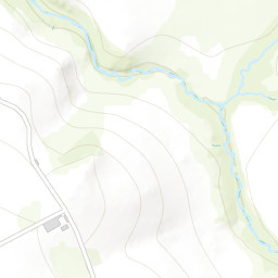
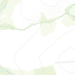
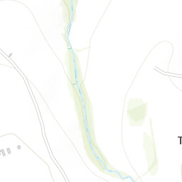
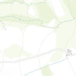
| landslide_name | Bowhills Dingle |
| plus_or_minus_metres | 1000 |
| first_known_date_year | UNKNOWN |
| first_known_date | None |
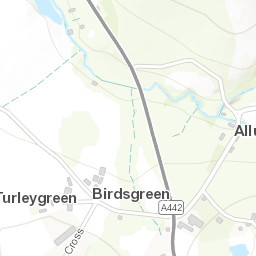
| locality_details | Northeast facing slope of the dingle where a NNE trending fault crosses valley,Shropshire, England |
| landslide_number | 15623 |
| northing | 285015 |
| grid_checked_by_bgs | Y |
| last_known_date_year | UNKNOWN |
| first_known_date_precision | UNKNOWN |