| id |
2813 |
| year_abandoned |
None
|
| plan_type_code |
MI
|
| scan_url_list |
http://largeimages.bgs.ac.uk/iip/mineplans.html?id=002813_01
|
| plan_title |
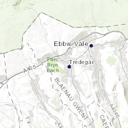
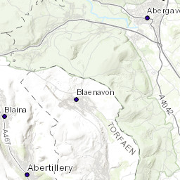
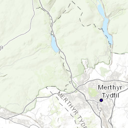
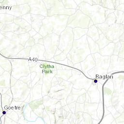
A MAP OF THE PROPERT AT ABERSYCHAN HELD BY THE BRITISH IRON COMPANY WITH THE INTERMEDIATE ESTATES.SURVEYED 1825-1826 BY R.C.TAYLOR
|
| series_code |
KP
|
| plan_type_trans |
MINERAL PLAN
|
| qs_list |
SO20SW
|
| plan_description |
BRITISH IRON COP.MINERAL MAP;
|
| series_number |
2874
|
| plan_type_desc |
MINERAL PLAN - PLAN SHOWING MINERAL LOCATIONS, LICENCE OR EXPLORATION ARES
|
| scan_status |
SCANNED, NOT GEOREFERENCED
|
| id_sort |
2813
|
| series_description |
ALL PLANS HELD AT KEYWORTH
|
| mineral_code_list |
IRON
|
| donor_or_source_code |
BGS
|
| mineral_trans_list |
IRON ORE OR IRONSTONE (UNDIFFERENTIATED)
|
| donor_or_source_name |
BRITISH GEOLOGICAL SURVEY
|
| mineral_desc_list |
IRON ORE OR IRONSTONE (UNDIFFERENTIATED)
|
| horizontal_scale |
2500
|
| contact_email |
enquiries@bgs.ac.uk
|
| feature_id_list |
25501
|
| confidentiality |
N
|
| vertical_scale |
None
|
| geog_area_list |
TORFAEN - TOR-FAEN
|


