| id |
322 |
| restitle |
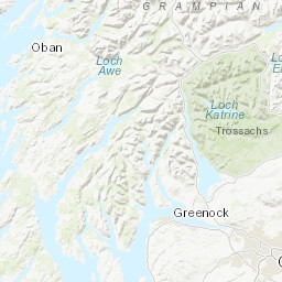
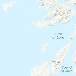
Geophysical and Sampling Survey 2007/5: Estuarine Contamination: Firth of Clyde Holy Loch to Greenock (26/Mar/2007 to 30/Mar/2007)
|
| geophys_equip_type |
Surface Tow Boomer
|
| accessuse_restric |
unrestricted use, copyright acknowledgement
|
| ship |
RV Aora
|
| samp_equip_type |
Corer: Craib, Corer: Sediment Gravity
|
| terms_of_use |
Available under the Open Government Licence subject to the following acknowledgement accompanying the reproduced British Geological Survey materials "Contains British Geological Survey materials ©UKRI [year]"
|
| client |
British Geological Survey
|
| start_date |
2007-03-26 00:00:00
|
| terms_of_use_url |
http://nationalarchives.gov.uk/doc/open-government-licence/version/3/
|
| contractor |
University Marine Biological Station Millport
|
| start_date_est |
Real
|
| cruise_area |
CP2 Regional Sea Boundaries: Irish Sea, Offshore 1:250k: Argyll, Clyde, SeaVoX Sub-Ocean: INNER SEAS OFF THE WEST COAST OF SCOTLAND
|
| end_date |
2007-03-30 00:00:00
|
| cruise_data_url |
None
|
| abstract |
This British Geological Survey (BGS) marine geophysical and sampling survey took place in March 2007 in the Firth of Clyde between Holy Loch and Greenock aboard the RV Arora. The purpose was to gather data which could be used for Estuarine Contaminant analysis. Seabed samples were collected with gravity and Craib corers. Sub-surface seismic data were gathered using a surface tow boomer. Most of the data were recorded digitally. Multibeam data was collected on Cruise 2007/4. These data are archived by BGS. Technical details of the survey are contained in BGS Internal Report IR/08/039.
|
| end_date_est |
Real
|
| mdfileid_nerc_guid |
abc9f747-534d-0f38-e044-0003ba9b0d98
|
| cruise |
2007/5
|
| additional_info |
For more detailed information on the acquisition equipment and data collection techniques, operational standards, data processing methods and quality control procedures used on this survey see the Report of Survey/Cruise Report and associated documentation where available. The information available may vary depending on the age of the survey. Data are checked and loaded to the BGS Coastal and Marine data management system following BGS marine data management procedures.
|
| confidentiality |
unclassified (open file)
|
| cruise_alias |
None
|
| nav_equip_type |
Differential GPS
|