| id |
334 |
| abstract |
This NERC marine sampling survey took place in April 1995 in the North East Atlantic Ocean on board the RRS Charles Darwin. The purpose was to identify suitable sites on the LOIS northern mooring line for benthic process studies and carry out the first set of process measurements in the LOIS study at these sites. BGS collected three box core samples. Survey details contained in Dunstaffnage Marine Laboratory Cruise report 92/95.
|
| end_date_est |
Estimated
|
| cruise |
1995_CD92
|
| additional_info |
For more detailed information on the acquisition equipment and data collection techniques, operational standards, data processing methods and quality control procedures used on this survey see the Report of Survey/Cruise Report and associated documentation where available. The information available may vary depending on the age of the survey. Data are checked and loaded to the BGS Coastal and Marine data management system following BGS marine data management procedures.
|
| confidentiality |
unclassified (open file)
|
| cruise_alias |
CD92A
|
| nav_equip_type |
GPS
|
| accessuse_restric |
unrestricted use, copyright acknowledgement
|
| restitle |
Sampling Survey 1995_CD92: LOIS - Shelf Edge Study Ellett Line: North East Atlantic Ocean (06/Apr/1995 to 13/Apr/1995)
|
| geophys_equip_type |
None
|
| terms_of_use |
Available under the Open Government Licence subject to the following acknowledgement accompanying the reproduced NERC materials "Contains Natural Environment Research Council materials ©NERC [year]"
|
| ship |
RRS Charles Darwin
|
| samp_equip_type |
Corer: Box
|
| terms_of_use_url |
http://nationalarchives.gov.uk/doc/open-government-licence/version/3/
|
| client |
Natural Environment Research Council
|
| start_date |
1995-04-06 00:00:00
|
| contractor |
Natural Environment Research Council
|
| start_date_est |
Estimated
|
| cruise_data_url |
None
|
| mdfileid_nerc_guid |
abc9f747-5335-0f38-e044-0003ba9b0d98
|
| cruise_area |
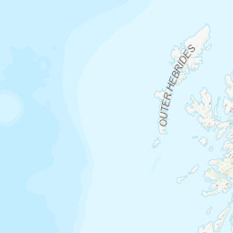
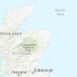
CP2 Regional Sea Boundaries: Atlantic North-West Approaches, Rockall Trough and Faeroe/Shetland Channel, Scottish Continental Shelf, Offshore 1:250k: Peach, Offshore 1:500k: Central Rockall Basin, SeaVoX Sub-Ocean: NORTHEAST ATLANTIC OCEAN (40W)
|
| end_date |
1995-04-13 00:00:00
|